- Version
- Download 1959
- File Size 0.00 KB
- File Count 1
- Create Date 31 March 2007
- Last Updated 27 September 2023
Hrísheimar 2006 Interim Report
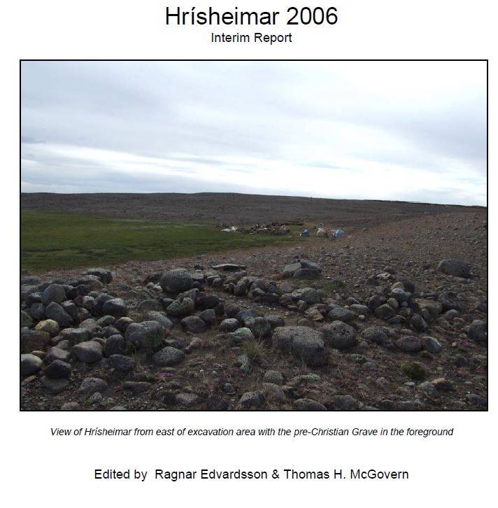
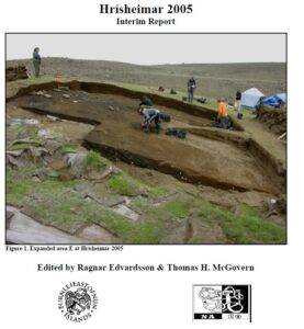
Hrísheimar is located in the bend of a gravel ridge formed by a glacial esker deposit (figure 1) (elevation 310 m, 40 24 53 E, 72 67 706 N). The farm area is relatively sheltered by the ridgeline from winds from the N and NE, but is exposed to wind and aeolian erosion from the interior deserts to the S and SW. The site is located near the headwaters of a series of small streams which join just north of the site to form Gautlandalaekur which flows northwards to Arnarvatn and then to the Laxá. A stillextensive bog (certainly much wetter and probably larger in the past) extends south and southwest of the site. Today the site is heavily eroded, with the ridgeline and most of the S and SW portions of the site area reduced to glacial gravels or patches of the distinctive creamy H3 prehistoric tephra. Viking age artifacts (beads, whetstones, copper alloy objects) and animal bones have been weathering out around the site area for over a century, and the place name has been maintained since at least medieval times. Ruins of an early modern Sel (shieling) cluster along the southeastern slope of the gravel ridge.
Alternative formats:
If you require this document in an alternative format, such as large print or a coloured background, please contact the author(s) or publisher. If it is a document authored by NABO, please contact us, either via our contact form or by emailing anthony.newton@ed.ac.uk.Related Posts


Share this: